The 3D underground seismic network is located at the German Research Centre for Geosciences in Potsdam and consists of the 3D underground seismic research group, industry representatives and mining universities. For more than 20 years, the research group has been working on the development of the measurement methodology and the appropriate measurement instruments, which will be further developed within and with the help of the network over the next five years. With underground seismics, three-dimensional images of the surroundings of underground structures are created in order to be able to derive statements on the position and spatial orientation of geotechnically relevant structures such as faults.

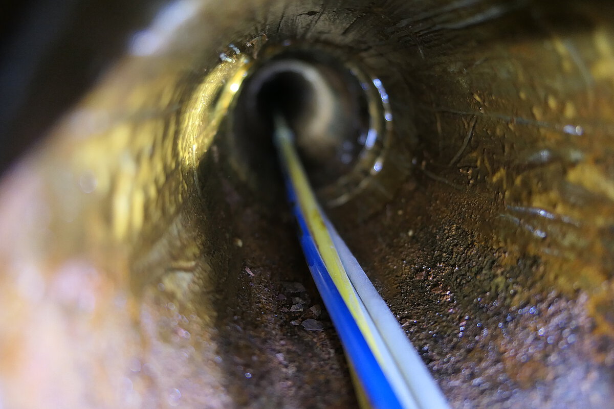
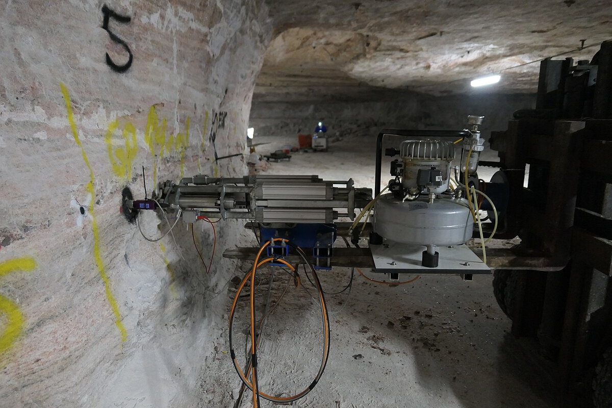
The measurements always take place according to the same principle. The area to be explored with its void inventory (routes, shafts, boreholes) is verified and delimited. In this area, geophone anchors and borehole sensors (three-component) are distributed at certain intervals. The vibration and impulse sources are mobile and can send acoustic waves into the rock as transmitters at the walls, the roof or on the bottom. These waves are then picked up by the receivers and a three-dimensional image of the rock structure is created from the data. More information.